
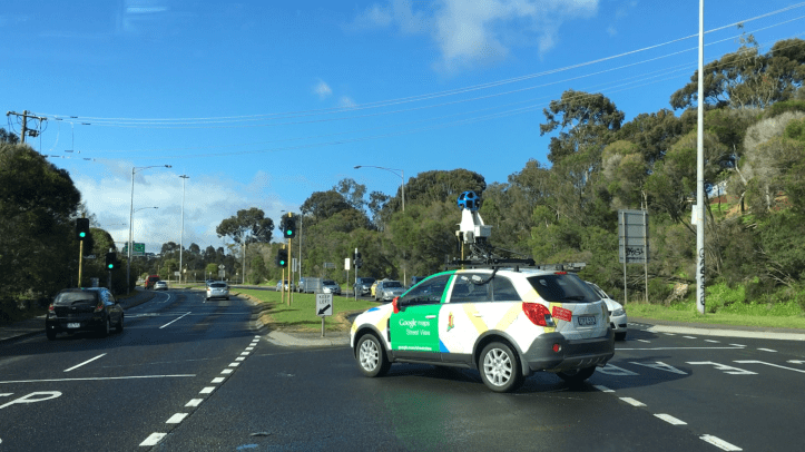
If you have not seen how Google Maps Street View is created, this is it! In just about every major city in the world, nearly every street has been driven by one of the vehicles.
The roof mounted cameras in the blue dome simultaneously records vision in every direction, allowing the full 360 degree view to Google users enjoy. For emergency services, this information can prove invaluable.
For example, in planning the repose to the current earthquake devastation in Amatrice, Italy: the old 1D map provided little help in terms of understanding a building collapse at a particular address or part of the town.
Knowing this will help assess the number of people that could be trapped – was it a commercial or residential address, a hotel or apartments?
Do you integrate Street View into your dispatch or response processes?
